Mapping with drones
2021.01.
Testing my possibilities with drone mapping.
Professional level: fun, Project volume: great
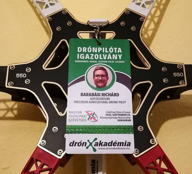
Thanks to my boss at Sagax, I got to participate in a drone piloting course. The organisation’s main profile is the distribution of aggricultural drones and also provides services related to that, like mapping and aggricultural surveys. On the course I learned a bit about the legal aspects, the usage of drones in agriculture and a lot about mapping with them.
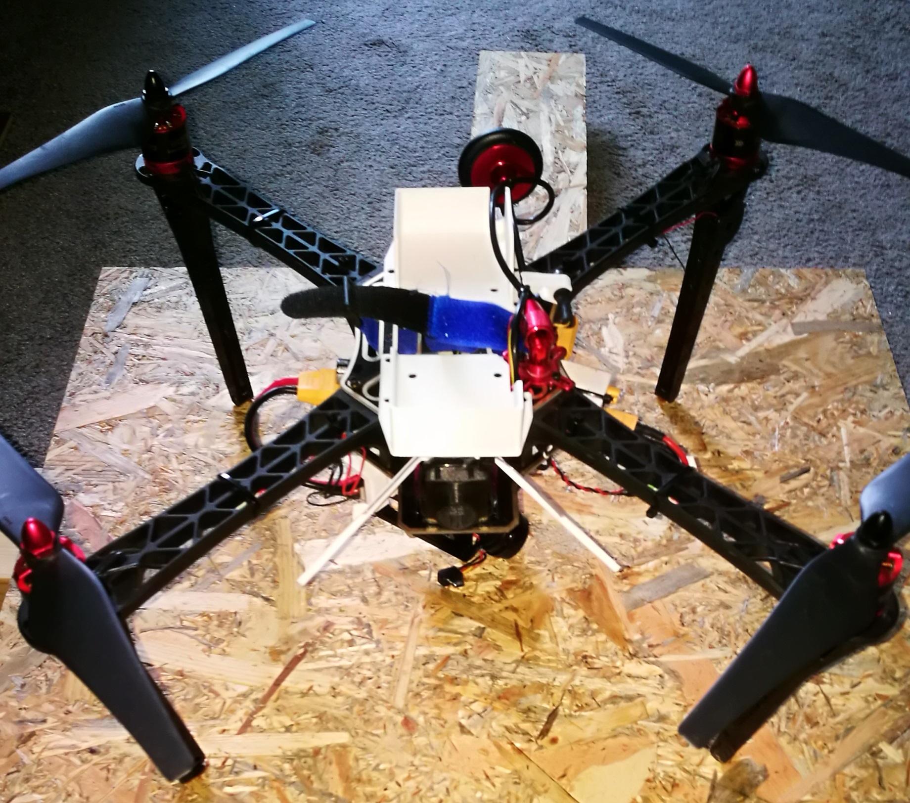
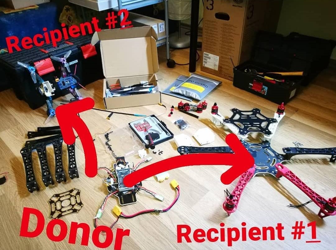
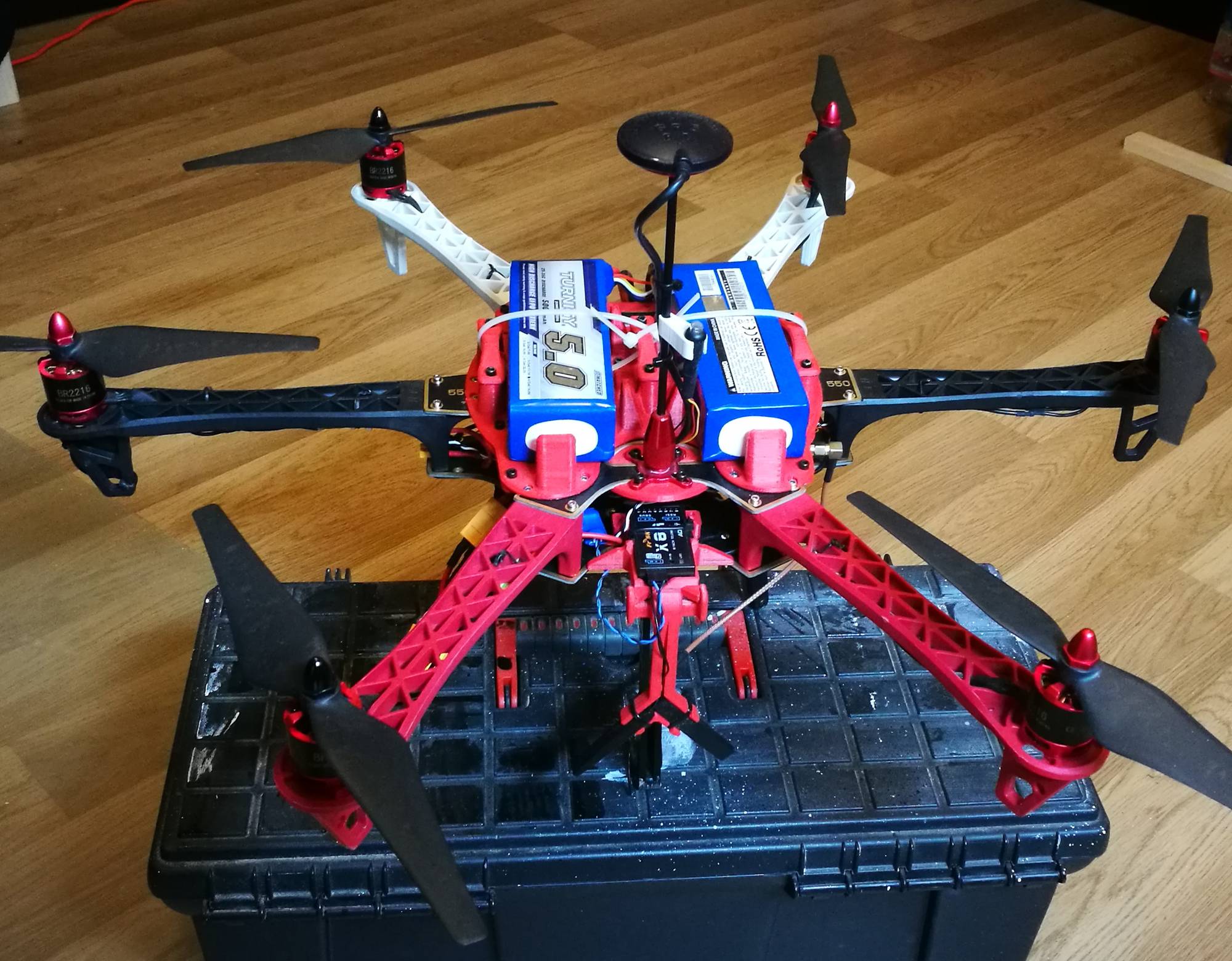
I decided to finally upgrade my quadcopter to a hexacopter as I found the carry capacity of the quadcopter lacking for mapping. I needed more battery for a longer flight to be able to cover a greater area but the quadcopter was barely manouverable with two battery packs.
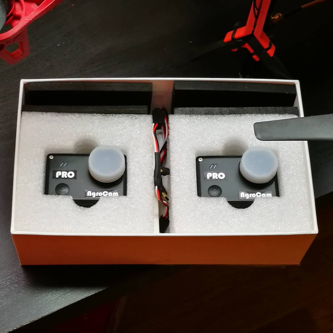
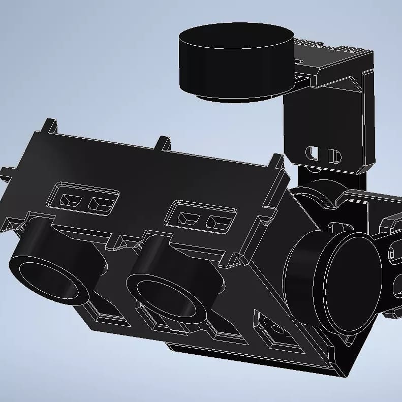
I also bough an affordable NDVI camera set. I also had a gimbal from earlier but I had to upgrade that as well to be able to carry the dual camera setup. The arms had to be extended and a custom case to be made. I made a 3D printable design that has the setup’s center of gravity to be on the axis of the 3 motors.
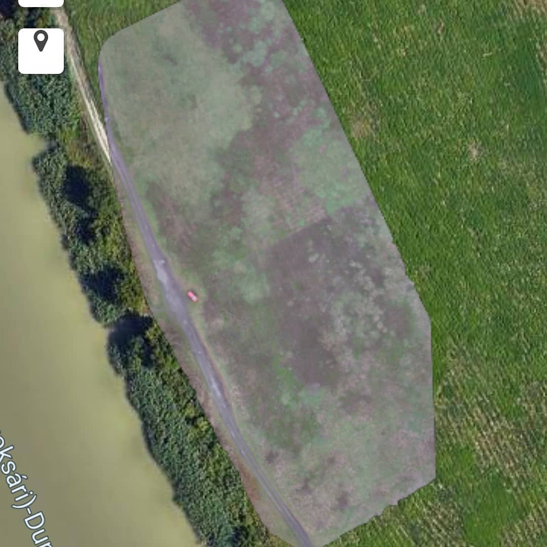
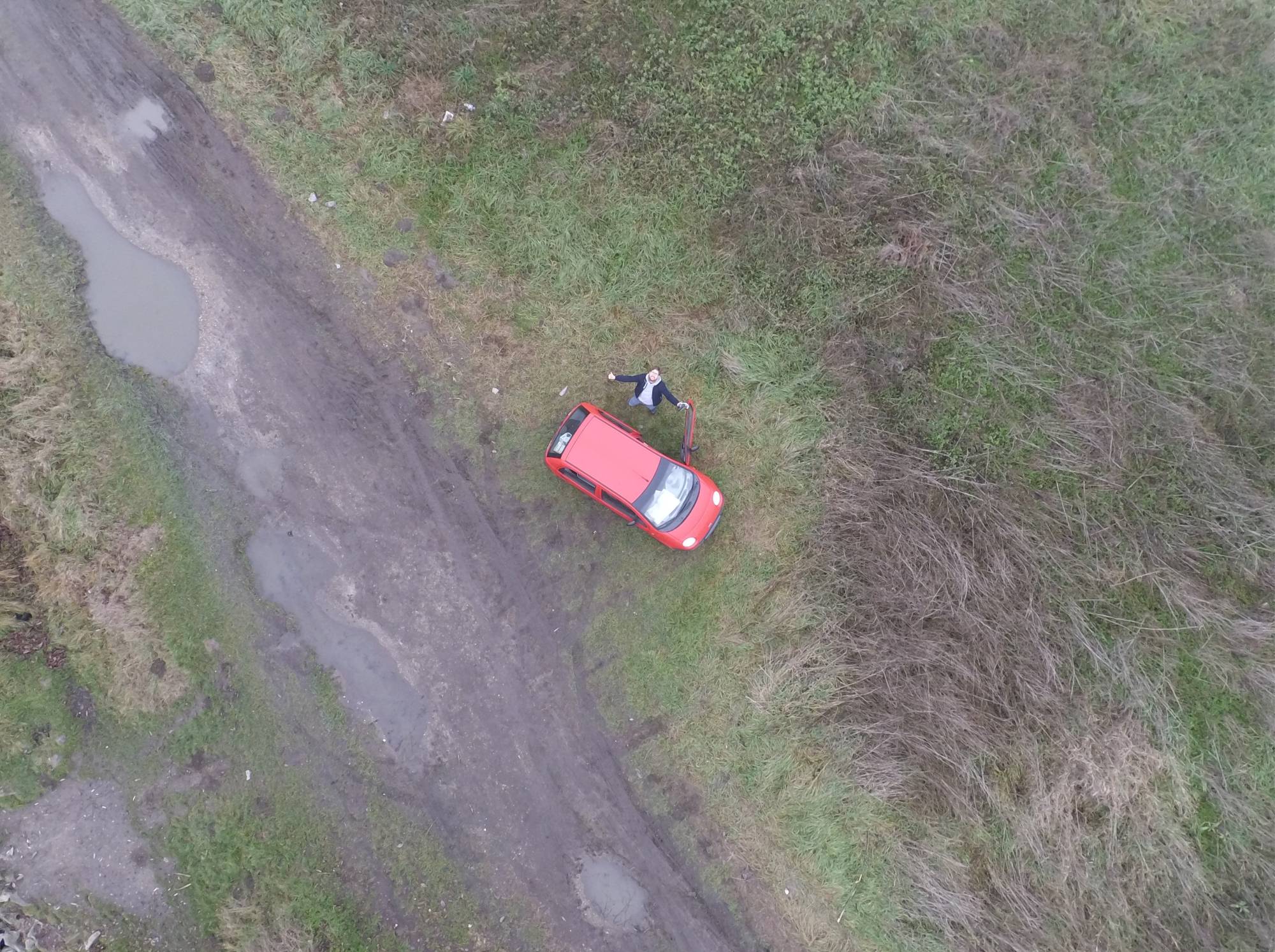
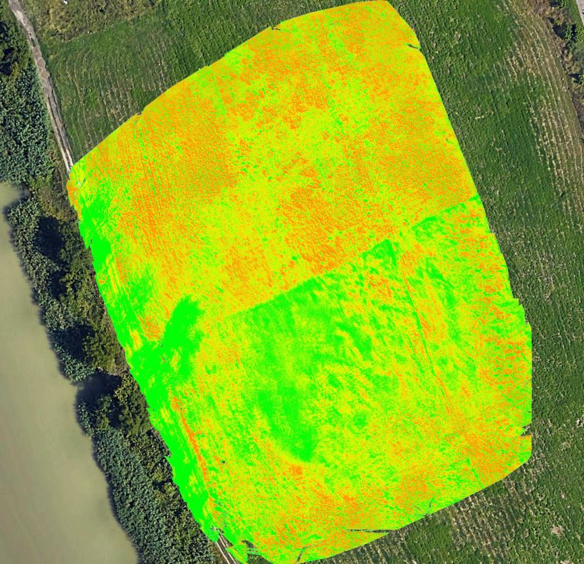
I found a quiet ufrequented area near were I was living and went on many practice rounds there. I tested the camera setup, the settings, piloting and multiple mapping softwares in paralell. One of the most successful result of theese tests was a complete map overlay image of that area.
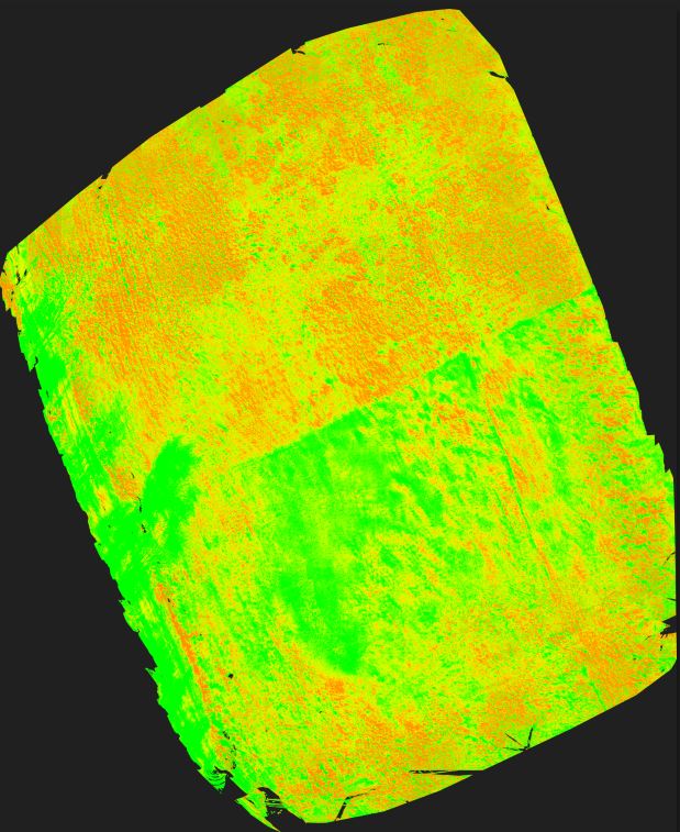
I also made maps using the near infrared camera’s images. The coloring should indicate the health of the plants. Although it seemed all right because of some artifacts I learned about on the course, for example tree’s shadows should show up green which you can see on the left side, I was not qualidied to tell if a plant is healthy or not.
To find out exactly how accurate the camera is I looked for a farmer with a field that I could use for practicing. For the first round I decided to go for a simple mapping of a field. It went well and could generate it. I went back later to make images for an NDVI map, but crashed my drone into a tall tree. (Wanted to make high resolution images and drew a mission with a lower altitude than before. The problem was that I estimated the height of the trees wrong.)
I had to repair the drone. Luckily the damage was moderate and I could fix it with some spare parts. The problem was that while this was going on I found a new workplace and had no time nor incentive to continue the project.
